FREE UK Shipping on orders over £75 | Every purchase supports the British Library
£15.00 £25.00
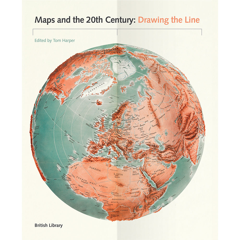
This book tells a global story of the most turbulent century in history through its most powerful and important object: the map.
It includes over 120 illustrations of the most intriguing and unusual maps of the period from the world’s greatest map collection, and uses them to tell the story of war, peace, depression, prosperity, and social and technological change that has made the world what it is today.
This bold new history will challenge the reader’s perceptions about maps, revealing them as objects of persuasion and power, as well as humour and even sadness. Above all it will open the reader’s eyes to the prevalence of maps in everyday life.
Highlights include a trench-map of the First World War battlefields, a Luftwaffe map of Liverpool, the original sketch for the London Tube, detailed maps of the ocean floor, and a poster showing Mao studying a map on his Long March.
Leading historians of cartography and society explore the myriad ways in which maps were made, used and understood during 100 years of conflict, change and upheaval.
Produced to accompany a major exhibition at the British Library.
Published: November 2016
Author: Edited by Tom Harper
Brand: British Library Publishing
Number of pages: 272 pages, with 125 colour illustrations
Binding: Hardback
Dimensions: 280 x 220 mm