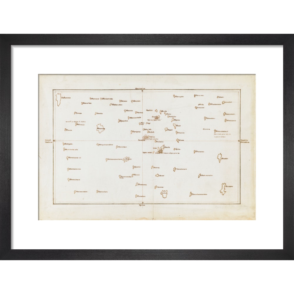
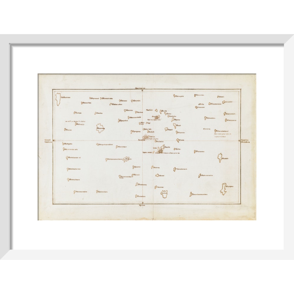
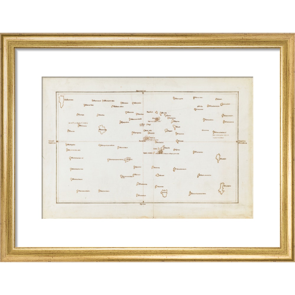
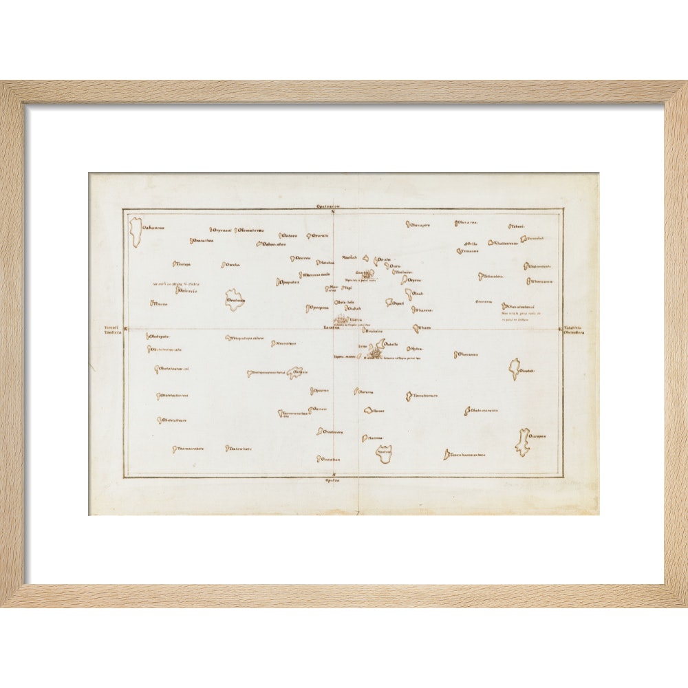
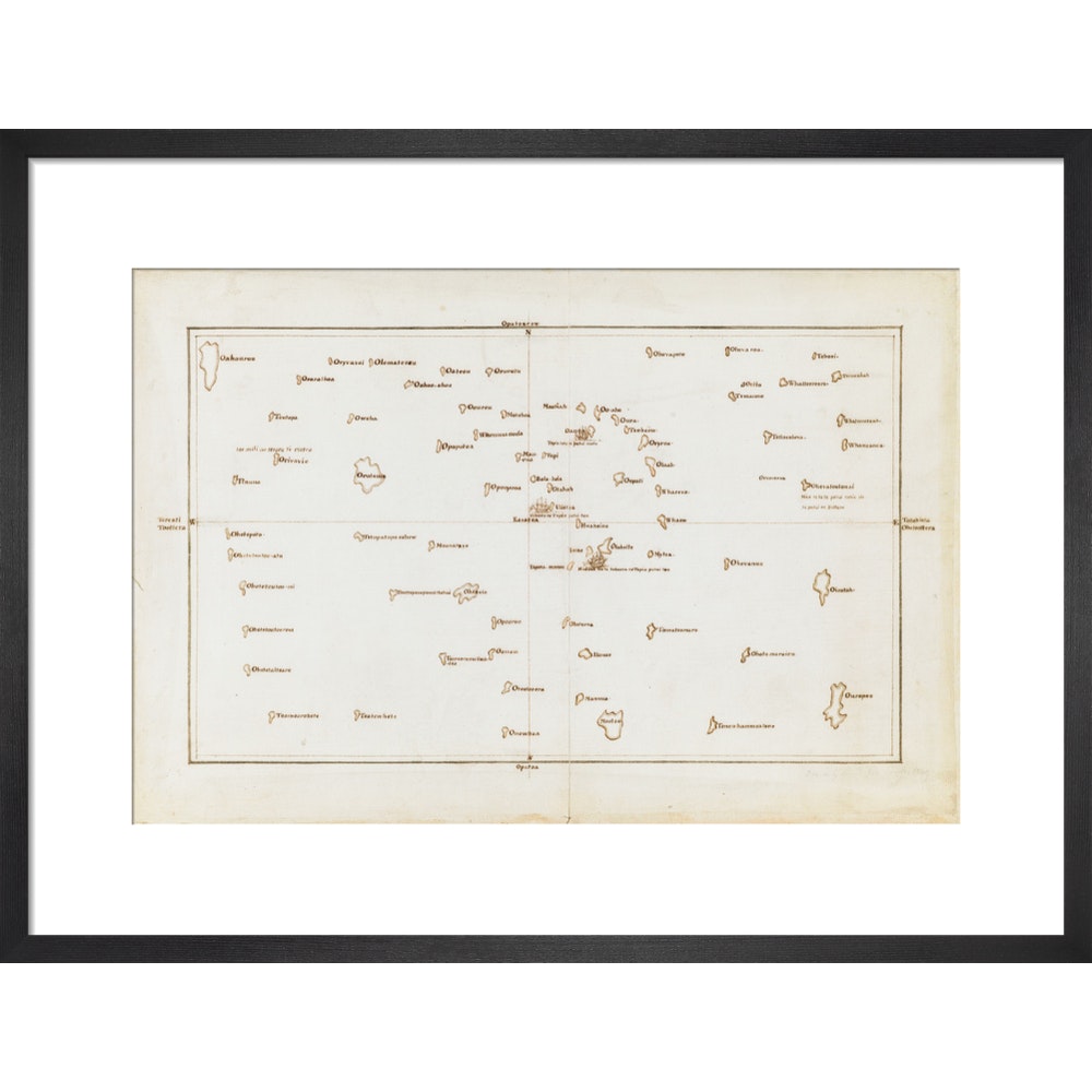
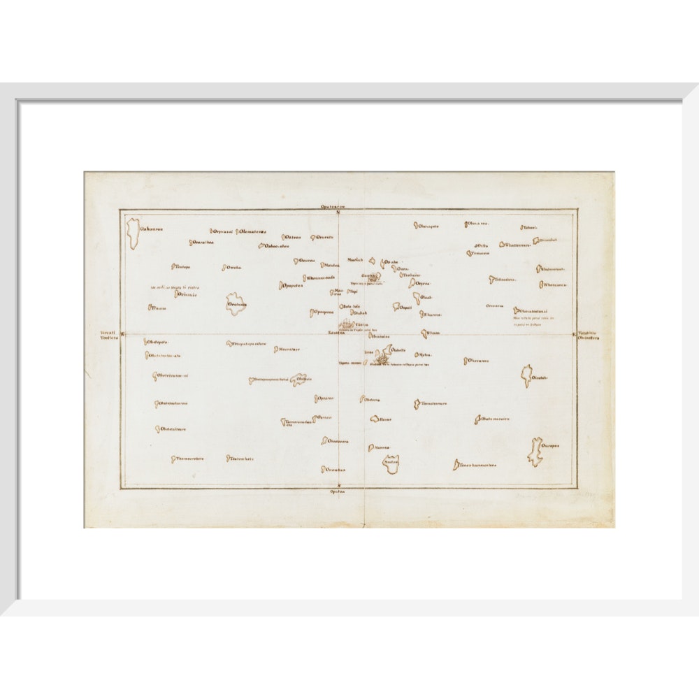
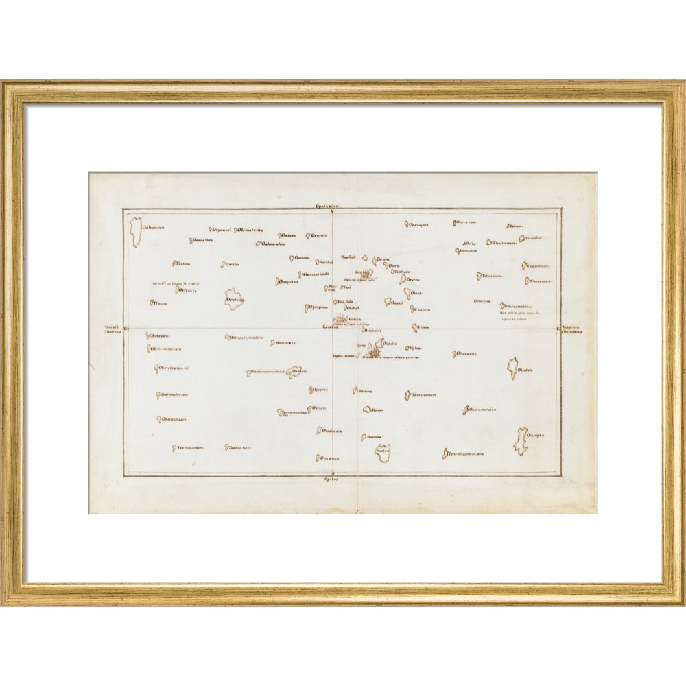
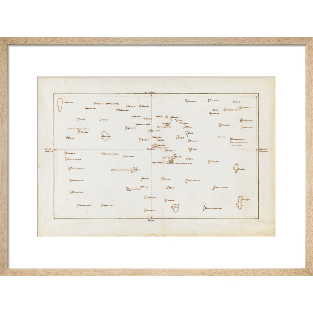
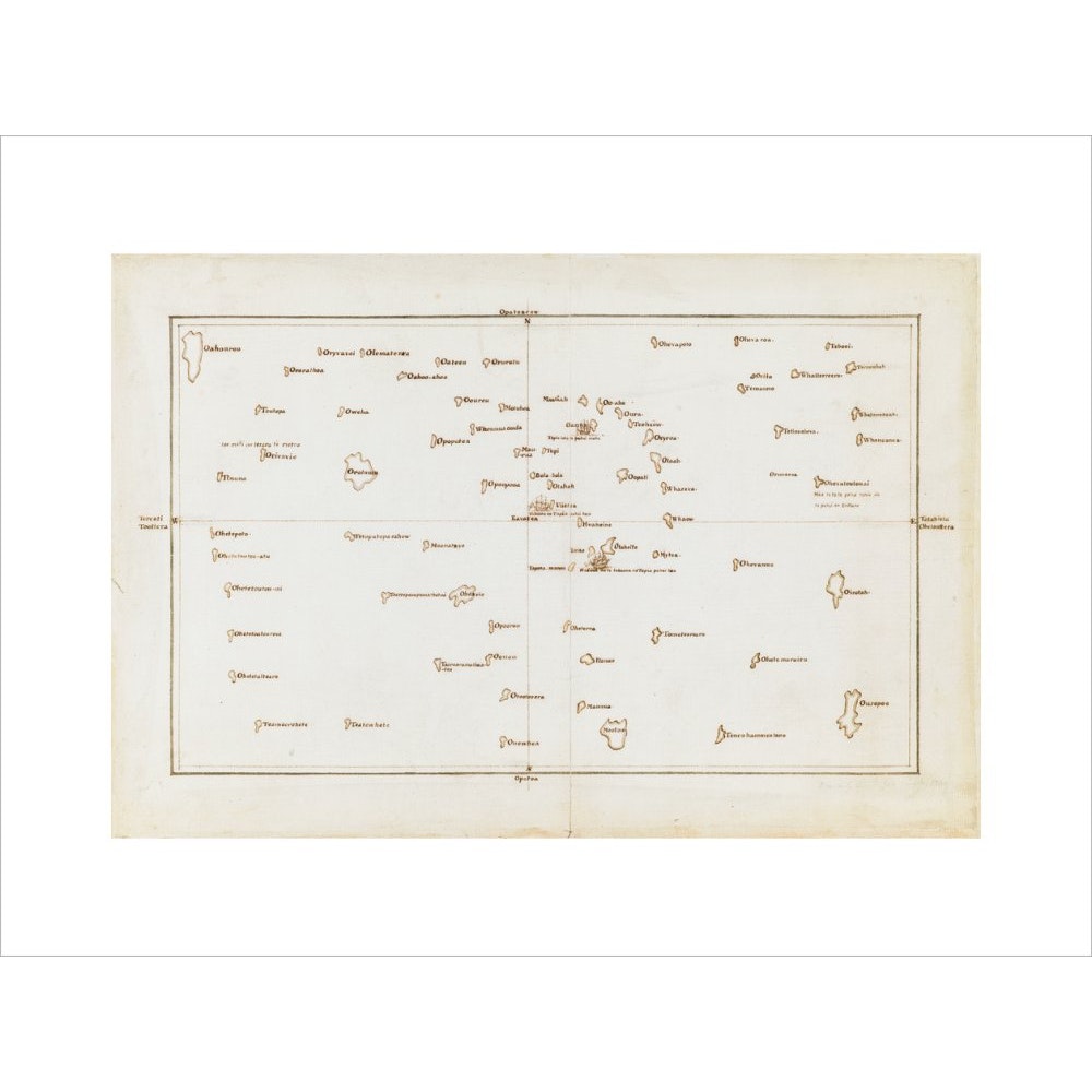
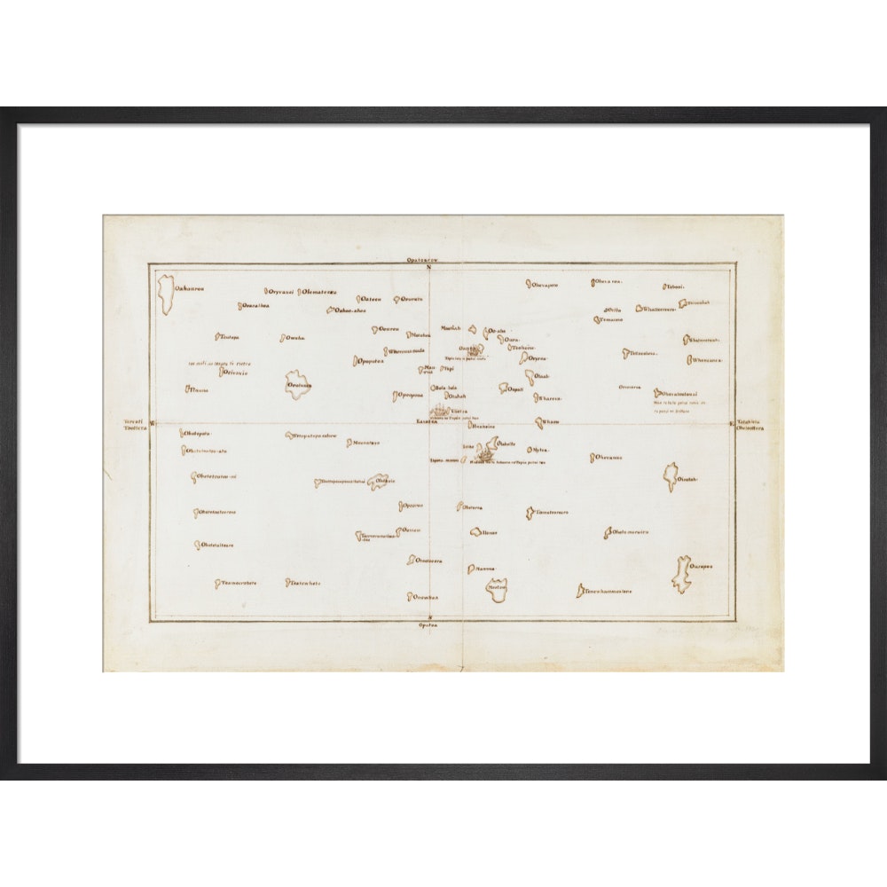
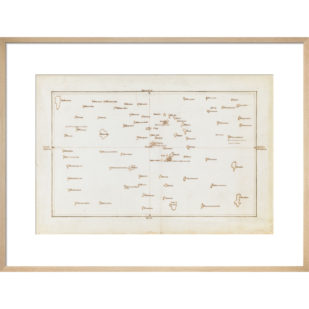
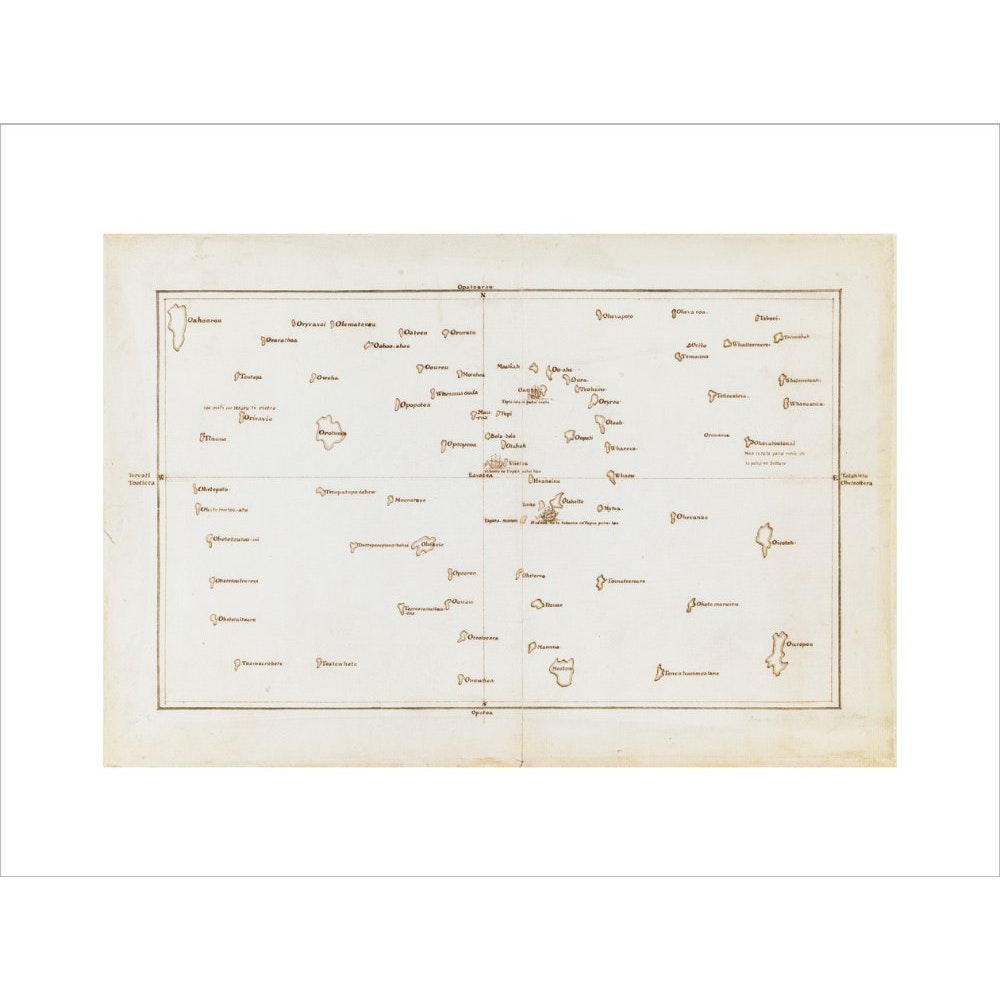
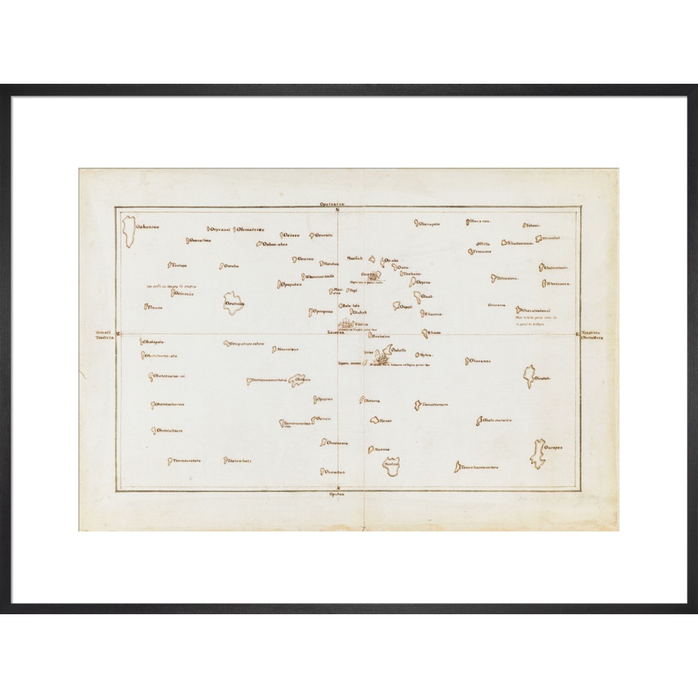
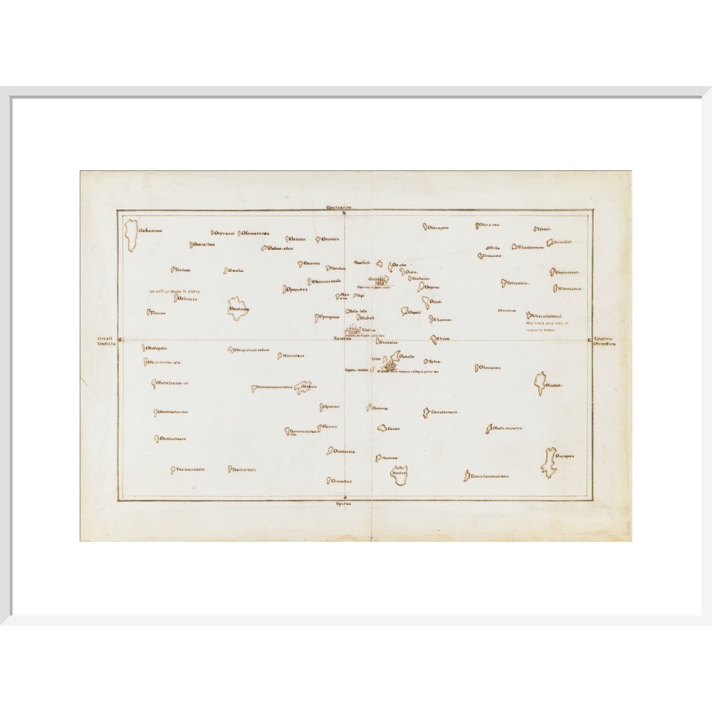
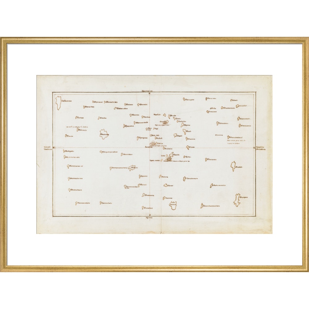
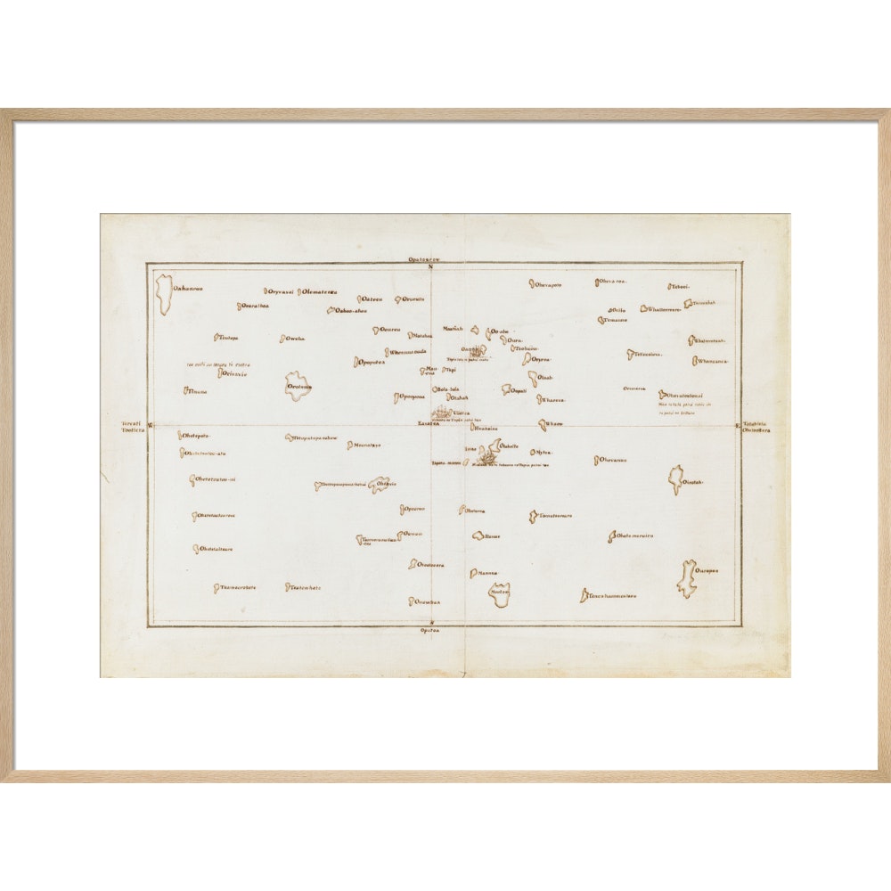
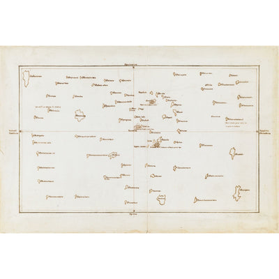
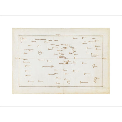
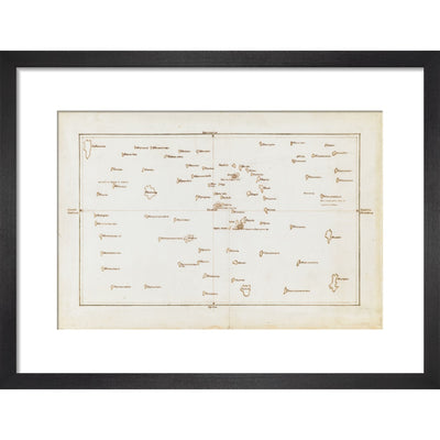
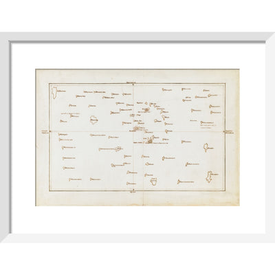
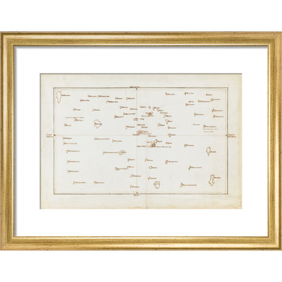
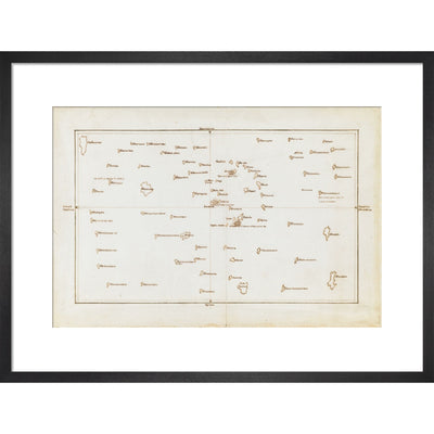
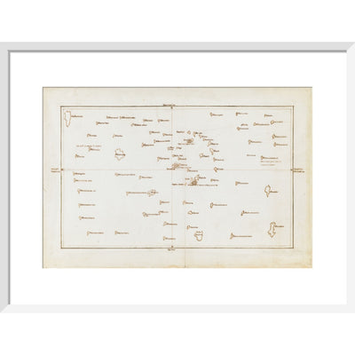
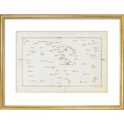
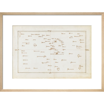
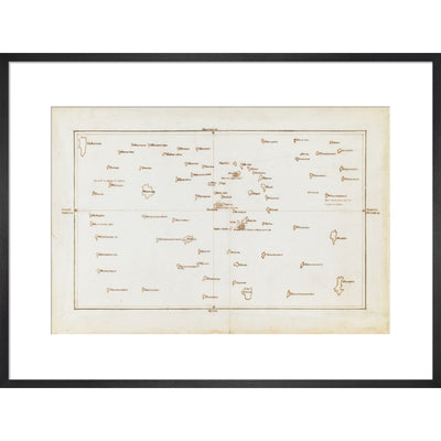
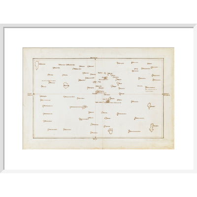
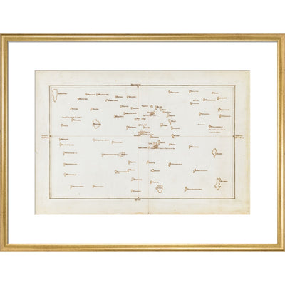
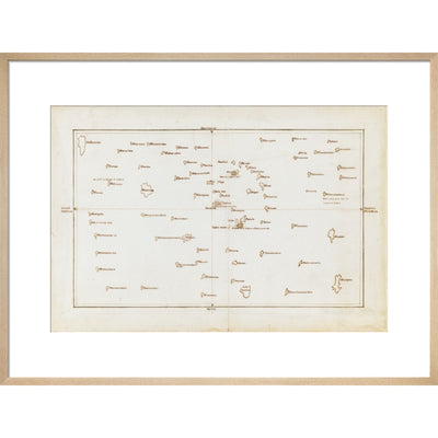
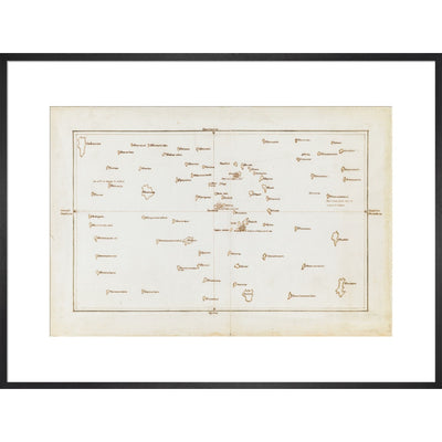
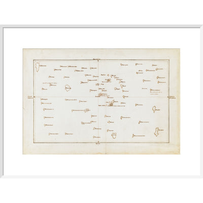
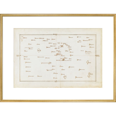
Chart of the Society Islands, with Otaheite [Tahiti] in the centre. July-August 1769.
This is a view of the Society Islands by Captain James Cook, who completed his first exploration of the Pacific Ocean from 1769 to 1771. The chart is a copy of an original document by Tupaia, a priest and leader of the island of Ra’iatea. He was enlisted by Cook to navigate HMS Endeavour to New Zealand. Tupaia’s knowledge of the topography, coastline and environmental features of South Pacific islands were indispensable to the British. Polynesian navigators before him had been exploring the Pacific for hundreds of years, charting routes to islands, including New Zealand, from their homelands around Tahiti.
Taken from Charts and Maps made during the Voyage of Discovery in the South Pacific Ocean, by Captain James Cook, commander of the Endeavour, in 1769 and 1770.
Add. MS 21593 C
Creator: James Cook
Reviews
You may also like
We use cookies on our website to give you the best shopping experience. By using this site, you agree to its use of cookies.